High pressure will shape the weather pattern across Southwest and Central Virginia through midweek, bringing slightly cooler, less humid, and mostly dry conditions through Thursday. This break from recent humidity will offer a brief period of more comfortable weather before warmer and wetter conditions return heading into the weekend.
As the high-pressure system builds in from the northeast, it will draw in cooler and drier air across the region. Wednesday will still be warm, with highs in the 80s, but lower humidity will make conditions feel much more pleasant under mostly to partly sunny skies.
Midweek Forecast
- Wednesday: Warm but not muggy, with highs in the 80s
- Skies mostly to partly sunny
- Lower humidity will provide more comfortable conditions
Thursday Outlook
- High pressure begins to shift eastward
- Conditions remain mostly dry and quiet
- Slightly warmer, with highs in the mid-to-upper 80s
- A few locations may briefly reach 90 degrees
End of Week and Weekend Changes
By Friday, a southwesterly flow will push warmer and more humid air back into the Mid-Atlantic, including Virginia. This return of moisture will raise temperatures and increase discomfort, especially east of the Blue Ridge Mountains, where heat index values could approach 100 degrees.
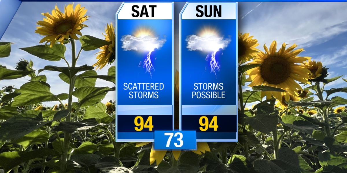
- Friday through Sunday: Highs in the upper 80s to 90s
- Increasing humidity will make it feel hotter
- Isolated showers and storms possible Friday
- Scattered storms more likely over the weekend
- Not a complete washout, but stronger storms and locally heavy rainfall are possible
Residents are advised to enjoy the midweek break in the weather and prepare for rising heat and the return of storm chances by the weekend.


