Eureka, CA — The National Weather Service (NWS) office in Eureka issued a Fire Weather Watch at 1:14 p.m. Tuesday, warning that critical fire weather conditions may develop across portions of Northern California on Thursday, from 9 a.m. through 11 p.m.
The Fire Weather Watch is in effect for a wide swath of the region, including the Upper Smith, Lower Middle Klamath, Hoopa, and Van Duzen/Mad River areas, as well as the entirety of Trinity County. The advisory extends to the Klamath Mountains, where scattered dry thunderstorms are expected to develop Thursday afternoon into the evening — a combination that meteorologists say could significantly increase the potential for wildfire ignition and rapid spread.
“Scattered dry thunderstorms are forecast to develop in the Klamath Mountains Thursday afternoon and evening,” the NWS stated. “The highest confidence of storms is in Siskiyou, Northern Humboldt, Eastern Del Norte, and Trinity counties. Some thunder potential also exists in southern Humboldt and in the Yolla Bollys.”
Why This Matters:
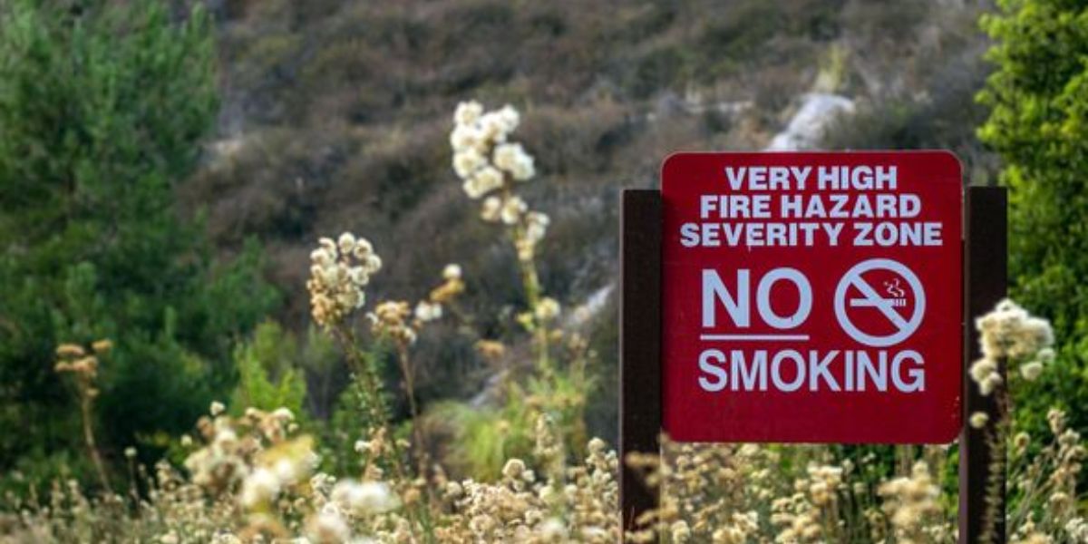
A Fire Weather Watch signals that conditions could become dangerous for wildfires, although the timing and intensity are still uncertain. These watches are typically issued 24 to 72 hours in advance of potentially hazardous fire weather conditions to give emergency services and residents time to prepare.
The primary concern with Thursday’s forecast is the possibility of dry lightning, which occurs when thunderstorms produce little to no measurable rainfall — but still bring lightning strikes capable of igniting fires in extremely dry vegetation.
Combined with hot temperatures, low humidity, and gusty, erratic winds that often accompany thunderstorms, these factors could result in explosive fire growth, particularly in remote mountain areas with heavy fuels and difficult terrain.
At-Risk Areas:
- Upper Smith River Basin
- Lower Middle Klamath River region
- Hoopa Valley
- Van Duzen and Mad River zones
- All of Trinity County
- Portions of Siskiyou, Del Norte, and Northern and Southern Humboldt counties
- Yolla Bolly Mountains
What You Should Do:
Residents, visitors, and outdoor workers in the affected regions are strongly advised to monitor local forecasts, prepare for rapidly changing weather conditions, and take steps to reduce the risk of human-caused fires.
Here are a few key precautions:
- Avoid open flames, including campfires and outdoor grilling.
- Do not use fireworks or spark-emitting equipment near dry vegetation.
- Delay outdoor work involving power tools or vehicles in grassy areas.
- Have a fire emergency plan ready in case evacuations become necessary.
What Comes Next:
If conditions become more certain or more dangerous, the NWS may upgrade the Fire Weather Watch to a Red Flag Warning — which means critical fire weather is imminent or occurring.
The NWS emphasized that residents should stay alert for further updates, and local fire departments are on high alert for potential flare-ups.
Looking Ahead:
Weather models currently suggest the potential for additional lightning activity into Friday, though confidence in extended outlooks remains low. Forecasters are closely monitoring the situation and will issue updated bulletins as needed.
Stay tuned to NOAA Weather Radio, local news outlets, and official NWS social media channels for the latest advisories, watches, and warnings.
In summary, with thunderstorms expected to bring lightning but little rain, Thursday could become a high-risk fire day for parts of Northern California. Officials urge vigilance, preparation, and caution to prevent wildfires during this dangerous window.


