EUREKA, CA – The National Weather Service (NWS) in Eureka has issued a Fire Weather Watch for parts of Northern California as scattered dry thunderstorms are forecast to develop later this week, potentially creating critical fire weather conditions across several counties.
The Fire Weather Watch is in effect from 11 a.m. to 11 p.m. on Friday and covers the Western Mendocino National Forest and the Eastern Mendocino Unit, among other areas. The announcement was released at 12:31 p.m. Wednesday by the NWS Eureka office.
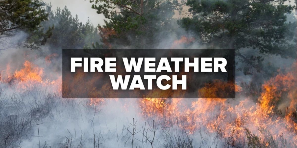
Dry Thunderstorms Could Spark Fires
According to the NWS, scattered dry thunderstorms are expected to form over the Klamath Mountains on Thursday afternoon and evening, increasing the risk of lightning-induced wildfires. The highest confidence for thunderstorm activity is in the following counties:
- Siskiyou
- Northern Humboldt
- Eastern Del Norte
- Trinity
Additional thunderstorm potential exists in Southern Humboldt and the Yolla Bolly Mountains.
By Friday, thunderstorm chances expand further south, potentially impacting:
- Interior Mendocino
- Northern Lake
- Interior Humboldt
- Trinity counties
These storms are forecast to be mostly dry, meaning they are likely to produce lightning with little to no rainfall, a combination that significantly increases the fire ignition risk.
What a Fire Weather Watch Means
A Fire Weather Watch signals that critical fire weather conditions are possible, but not yet certain. If confidence increases, the NWS may upgrade the watch to a Red Flag Warning.
Residents, outdoor workers, and land management agencies are advised to:
- Stay alert for updated forecasts
- Prepare for the possibility of rapid fire growth
- Avoid outdoor burning and spark-producing activities during watch hours
With hot, dry, and unstable conditions in the forecast, the NWS urges everyone in affected areas to monitor weather updates closely and be ready to respond quickly should fire activity occur.


