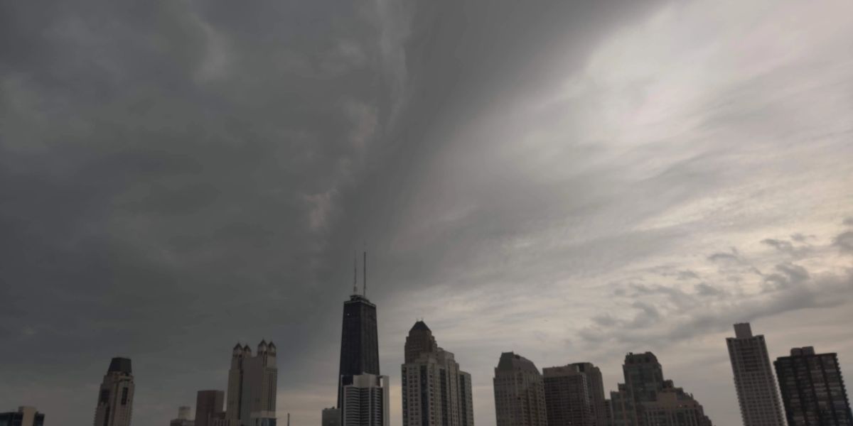
After a pleasant and mostly sunny Friday with highs in the upper 70s to low 80s, the Chicago area is bracing for a shift in weather conditions as the weekend approaches. According to NBC 5 Storm Team Meteorologist Kevin Jeanes, rising humidity and a developing storm system over the northern Plains are expected to bring a round of strong to severe thunderstorms by Saturday.
Weekend Outlook
- Friday: Mostly sunny and dry, with highs between 78°F and 82°F. Comfortable humidity levels are expected through the day.
- Friday Night: Increasing humidity overnight as storm systems begin to build to the northwest.
- Saturday:
- Thunderstorms may begin as early as 9 a.m., especially in northern and western suburbs.
- Strong-to-severe storms with heavy rainfall and gusty winds are likely to linger through mid-afternoon.
- If storms hold off until later in the day, the severe weather risk increases.
- High temperatures will be around 81°F.
- Sunday:
- Slightly cooler, with highs near 78°F.
- Rain chances return, particularly south of I-80.
Next Week: Heat and Storms on the Rise
Starting Tuesday, a dome of high pressure will dominate the region, ushering in another round of hot and humid weather. Jeanes warns that this could lead to:
- Highs in the upper 80s to low 90s across the Chicago area.
- “Feels-like” temperatures could climb well above 95°F, especially mid to late week.
- Rounds of strong to severe storms are possible from Tuesday through Friday due to the clash of hot, humid air with advancing cold fronts.


