A tropical disturbance nearing the northern Gulf Coast, identified as Invest 93L by the National Hurricane Center, is bringing heavy rainfall and a heightened risk of flooding to parts of Louisiana and neighboring Gulf Coast states. While the system has a low chance of becoming a tropical depression before making landfall, its impacts could still be significant.
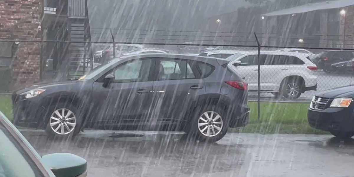
As of Thursday morning, flood advisories were in effect for southeastern Louisiana, including Baton Rouge, where 2 to 8 inches of rain had already fallen in some areas, particularly near Houma and Morgan City.
Radar imagery shows widespread rainfall pushing into Louisiana, with the threat of locally heavy rain expected to continue through Friday, possibly lingering into Saturday in parts of the lower Mississippi Valley.
The National Weather Service has issued flood watches for all of southern Louisiana and portions of southern Mississippi. The heaviest rain is forecast along and south of the Interstate 10 corridor, affecting regions from eastern Texas to the western Florida Panhandle. Some areas may receive over 6 inches of rain, with even higher amounts possible where rain bands stall over the same location.
Residents are urged to stay alert for changing conditions and follow guidance from local officials. Flooding of low-lying areas, roads, and creeks is possible, and motorists should avoid driving through flooded roadways.


