
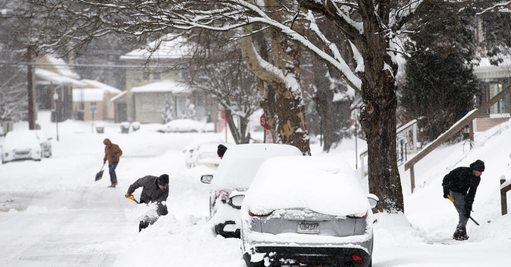
New Jersey will see some spotty snow showers on Thursday before temperatures begin to rise significantly. While the snowfall isn’t expected to be heavy, it could create slick spots on roads, especially in the early morning and late evening hours. Commuters should stay alert and allow extra time for travel, as some areas might experience reduced visibility due to light snow showers.
The snow activity will be scattered and brief, with no major accumulation expected. Most of the precipitation will remain light, but flurries could pop up unexpectedly throughout the day. Areas in northern and western parts of the state may see a slightly higher chance of snow compared to southern regions, where temperatures will remain a bit milder. Despite the occasional flurries, daytime temperatures will hover in the upper 30s to low 40s, making it too warm for any significant buildup on roads and sidewalks.
By Thursday night, any lingering snow showers will taper off, and skies will begin to clear. Overnight temperatures will drop to the mid-20s in colder areas, but this will be the last of the winter chill for a while. A big warmup is on the way, bringing a noticeable shift in the weather pattern just in time for the weekend.
Starting Friday, temperatures will gradually rise, with highs reaching the upper 40s and low 50s. By the weekend, a significant jump in temperatures is expected, pushing into the upper 50s and even touching 60 degrees in some areas.
This change is due to a shift in wind direction, bringing in warmer air from the south. As a result, any remaining snow from previous storms will likely melt quickly, leading to drier and more comfortable conditions across the state.
The warm trend is expected to continue into next week, with above-average temperatures dominating the forecast. While it’s still winter, this stretch of milder weather will provide a welcome break from the recent cold spells. However, with the rapid warmup, some areas might experience increased snowmelt, leading to minor flooding in low-lying areas. Residents should keep an eye on local forecasts and be prepared for any possible water pooling on roads or sidewalks.
Although the warmup is the main story, there’s a chance for a few passing rain showers early next week. These showers won’t be widespread or heavy, but they could bring some brief damp conditions before clearing out. Overall, the extended forecast looks mild, with no major storms on the horizon.
For those who enjoy winter weather, this may not be the news they were hoping for, but for many, the warmer temperatures will be a nice relief. It’s a reminder that spring isn’t too far away, and the worst of winter’s chill might be behind us—at least for now.
Disclaimer: This article has been meticulously fact-checked by our team to ensure accuracy and uphold transparency. We strive to deliver trustworthy and dependable content to our readers.


